

Perspective · Geopolitics
The changing geography of global supply chains
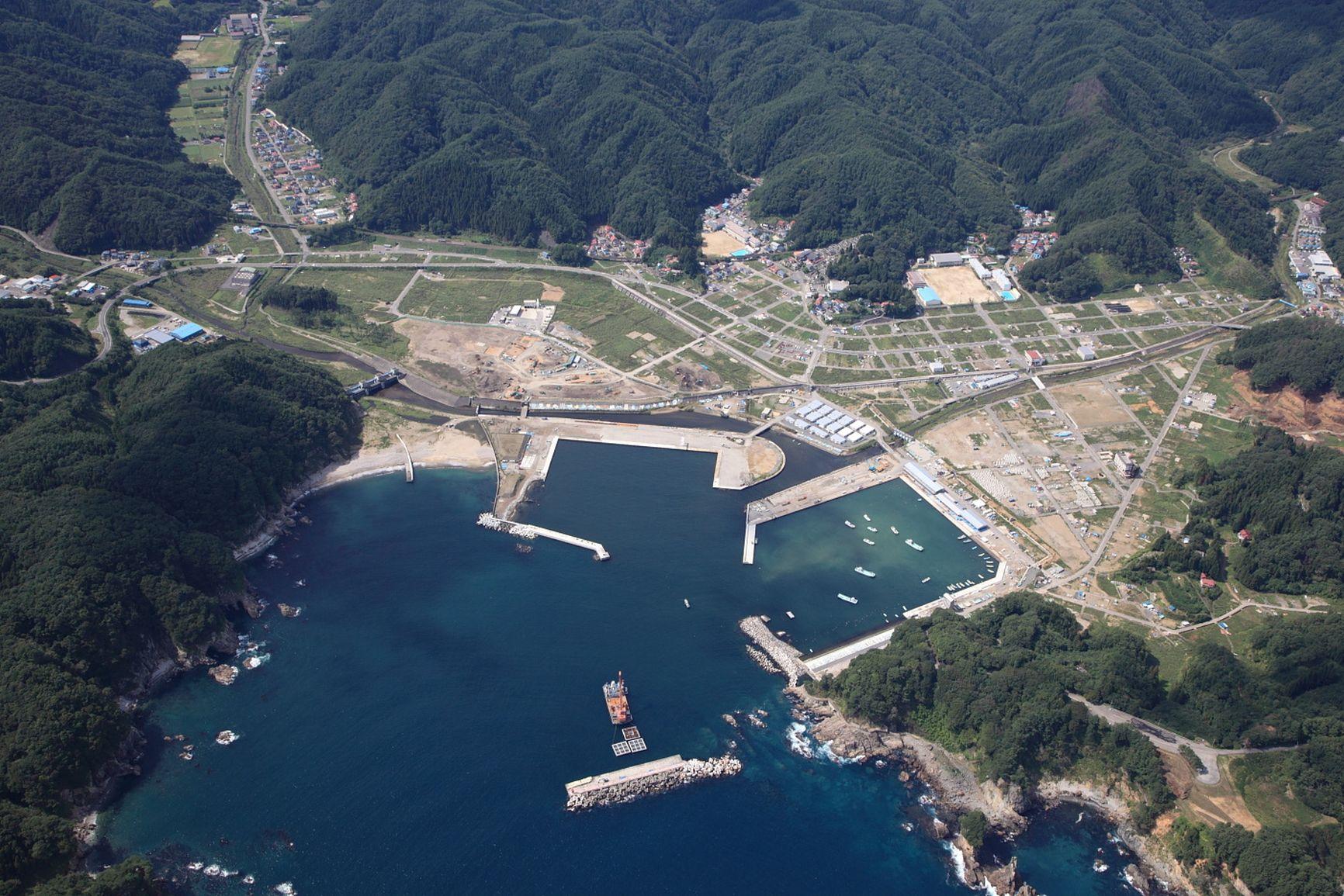
For two decades, supply-chain design treated geography as a cost surface: labour, freight, tariffs. Territory itself — the physical and political conditions of the corridor — was assumed to be stable enough to ignore. That assumption is no longer available.
The route is the risk
Chokepoints, climate-exposed corridors and industrial policy have made the route as strategic as the factory. Suez, Panama, the Red Sea, the Rhine, Alpine transits and a handful of ports do not appear as suppliers in most risk registers. They appear as delays. Dual-sourcing that still funnels through one canal, one mountain crossing or one political jurisdiction is a spreadsheet distinction, not diversification.
Name the corridors
The practical shift is to map critical flows onto corridors and jurisdictions, then test those corridors against a short list of plausible disruptions. The result is not a prediction of the next crisis. It is a ranking of which geographies the operating model cannot afford to misunderstand.
Geopolitical and climate disruption arrive as closed straits, low rivers and politicised borders. Lead time is now a territorial variable — and inventory, sourcing and the next factory decision have to be made against named corridors.
Terranova Strategy
Territorial Exposure Assessment
Territorial Exposure Assessment traces critical flows onto the corridors and jurisdictions they actually use, so concentration is visible even when supplier names differ.
Explore service