

Insight · Natural Hazards
What does Permafrost exposure risk mean for alpine regions?
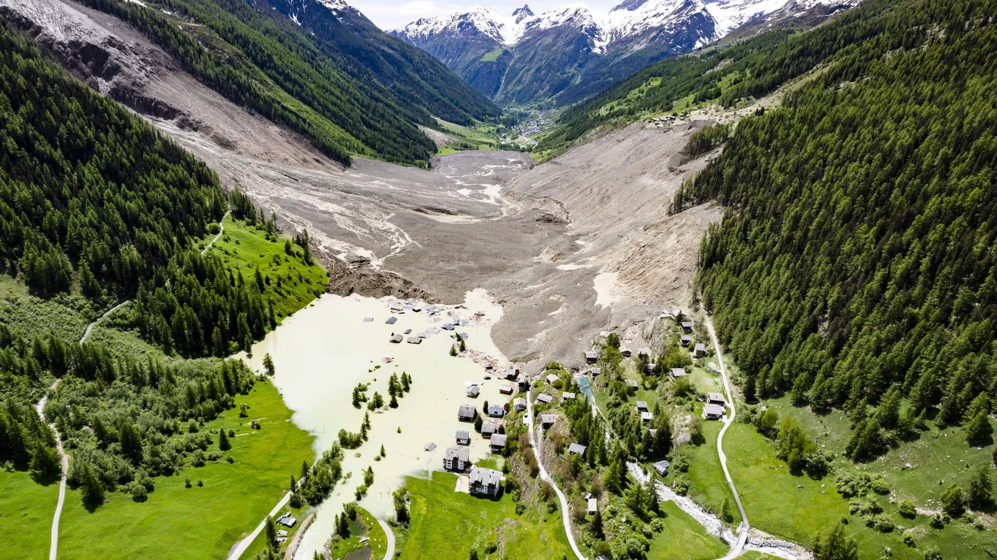
Permafrost in the Alps is frozen ground high on the mountain — mostly invisible, and larger than the remaining glaciers. For territorial strategy it is not a summit curiosity. It is a condition of the high slopes that drain into the valleys where roads, plants, crossings and settlements actually sit. When that ground loosens, the event does not stay on the peak.
What permafrost is — and how much of it there is
Permafrost is ground that stays frozen year-round. In the Alps you rarely see it. It sits inside rock faces, scree and old ice-and-rubble tongues, generally on the high ground. The ice in that ground works like a binder. It holds slopes together. When summers get hotter, the binder weakens, water moves into the cracks, and rock, debris and meltwater can travel down the torrent to the valley floor. The frozen area is larger than most organisations assume. Across the Alpine arc it covers roughly 6,200 km² — about three times the remaining glacier area. Switzerland holds the largest share, about 2,160 km², or 3–5% of the country. Italy follows with about 1,790 km², Austria 1,560 km² and France 700 km², with only a few square kilometres in Bavaria. The useful comparison is not glacier versus permafrost. It is how much high ground drains into a working valley.
Heat loosens the high ground
The Alps have been warming fastest at elevation. Recent summers have been among the hottest on the Swiss record, and rockfall from high faces has followed the heat. Ground that looked stable because it was frozen is the same ground that now sheds rock, debris and water into the catchments below. For an operation, that is not a climate footnote. It is a change in the territory it uses.
Thaw becomes a disruption trigger
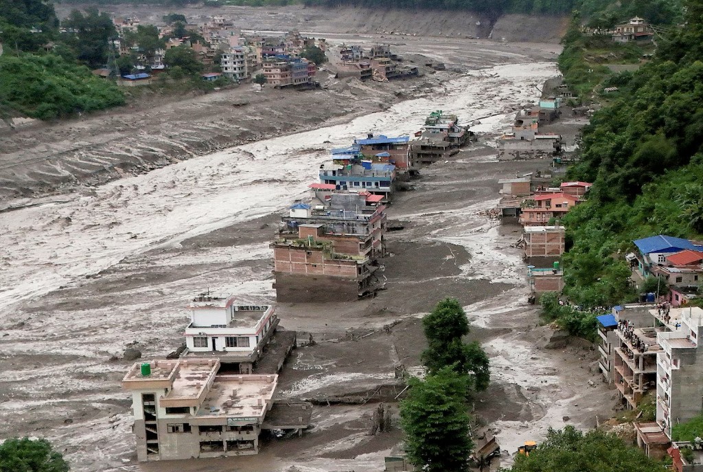
The failure rarely stays on the peak. A loosening slope can pick up ice and debris, become a debris flow or a flash flood, and follow the torrent to the road, the rail and the settlement. That sequence is no longer theoretical: Piz Cengalo into Bondo in 2017; Fluchthorn in 2023; Piz Scerscen in 2024; the collapse above Blatten in 2025, prepared by rockfall from thawing high ground. What matters is not the volume on the face. It is the corridor the material uses, how long that corridor stays closed, and which sites cannot run without it.
Where the Alps are most exposed
Exposure follows the frozen ground — and the valleys it feeds. Switzerland holds the largest Alpine permafrost area. Valais is the centre of gravity: Zermatt and Saas-Fee, the Lötschental, the Rhône corridor through Visp and Brig, and torrents such as Ritigraben above Grächen. Graubünden follows: the Engadin around St. Moritz, the Bregaglia, and the ridges above Davos. The Bernese Alps expose Grindelwald, Kandersteg and the Lötschberg axis; Uri and Glarus sit under the Tödi group. Ticino has a smaller high-Alpine footprint but about 9.4% of its territory in modelled permafrost.
In France: Haute-Savoie (Mont Blanc, Chamonix), Savoie (Vanoise), and the Écrins–Oisans in Isère and Hautes-Alpes. In Italy: Valle d'Aosta around Courmayeur, then South Tyrol — nearly 2,800 mapped rock glaciers, about 500 still active — with Trentino and the Lombard high valleys behind. In Austria, Tyrol (Ötztal, Stubai, Innsbruck), Vorarlberg and the Hohe Tauern in Salzburg and Carinthia hold most of the country's ~1,560 km². Bavaria’s frozen ground is small and concentrated around the Zugspitze. The strategic places are the nodes that cannot reroute: Chamonix and Courmayeur; Zermatt, Visp and Brig; St. Moritz; Innsbruck; Bolzano and Aosta. A closed crossing, a buried torrent fan or a cut access road is how the risk shows up in an operating year.
Permafrost exposure risk is the chance that a change on the high ground closes a valley. Maps of frozen area are a starting layer. The assessment that matters places the slope, the torrent, the road, the rail and the settlement in the same picture — and asks which of those links the organisation cannot afford to lose.
Terranova Strategy
Territorial Exposure Assessment
Territorial Exposure Assessment places permafrost-related slope and torrent hazards with the access, energy and settlement dependencies they can close.
Explore service